

August 2011 ESIP Journal
Ecosystem health indicators – how did we create a Gulf of Maine indicators and reporting initiative
David Keeley and Diane Gould

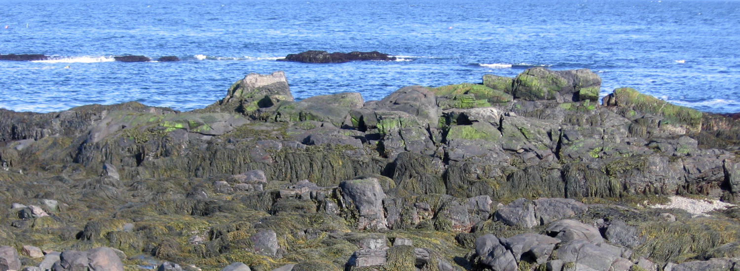
While many people, organizations and events contributed to the development of ecosystem health indicators in the Gulf of Maine one can point to at least four key events. The first was the Atlantic Northeast Coastal Monitoring Summit that was convened in Durham, NH in 2002 by EPA and a 17-member steering committee of managers and scientists. The purposes of the Summit were to develop an ecologically driven basis for coordinating selected monitoring programs, to create a framework for a regional monitoring network, and to identify the region’s monitoring needs and corresponding research requirements. For three days over 100 participants worked in plenary and breakout groups to develop a set of recommendations. One pertained to creating and disseminating ecosystem health indicators that are designed to inform priority coastal issues and management concerns. It was envisioned that they would track the overall status of the region’s coastal and marine environment and measure responses to environmental management activities.
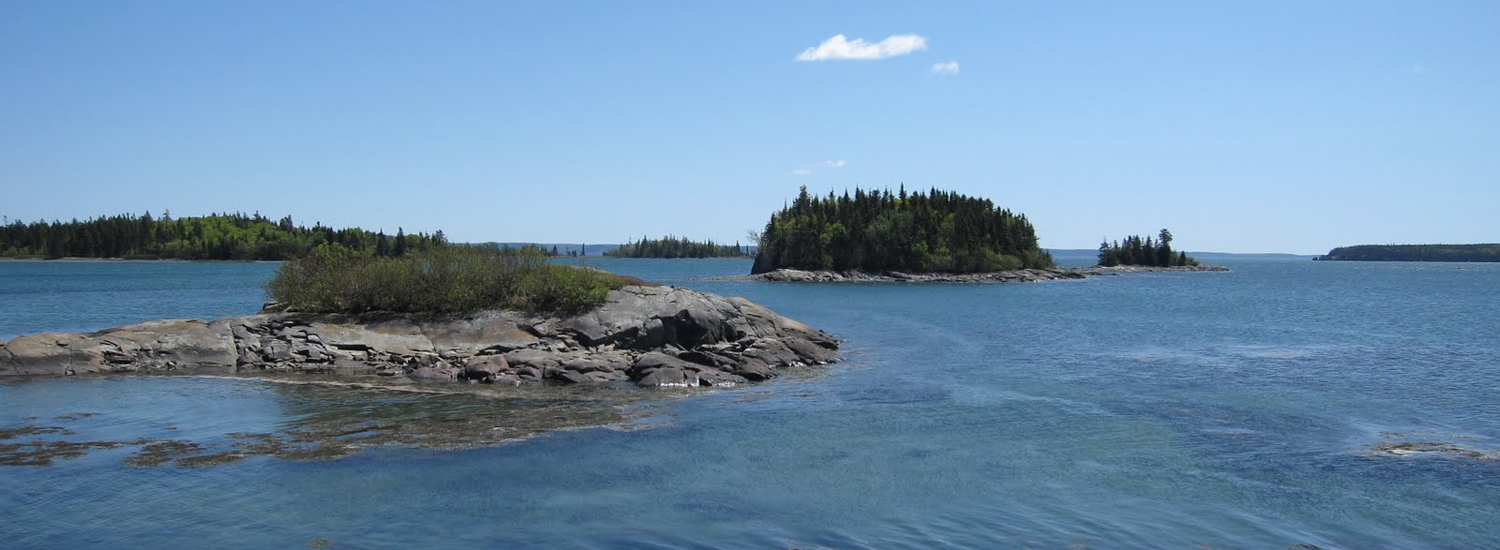
In 2004 managers and scientists were convened in Durham by a broad partnership at the Northeast Coastal Indicators Workshop to develop a consensus on a set of indicators within six major categories: fisheries, eutrophication, contaminants, coastal development, aquatic habitat, and climate change. The intent was that regional data would be compiled and tracked to indicate changing trends in ecosystem integrity throughout the northwest Atlantic region. It recognized that while many indicator and reporting efforts exist in the Gulf of Maine, a gulf-wide indicators and reporting program was lacking. The workshop recommended the development of a strategy to create a regional indicators program.
Also in 2004 the Gulf of Maine Council on the Marine Environment (GOMC) and its partners focused regional attention on ecosystem indicators and reporting at the Gulf of Maine Summit in October 2004. Through the Governors’ and Premiers’ Committing to Change proclamation that was released at the Summit, the GOMC was called upon to “provide timely and responsive information to decision-makers (including a comprehensive state of the environment reporting and indicators series).”
Finally, in 2006 the Council formed the Ecosystem Indicators Partnership (ESIP) to create a strategy to develop a regional ecosystem indicators and reporting program. The key events already described laid out the guiding principles, fundamental approach, and organizational structure for a gulfwide indicators and reporting program. At its core, the Council recognized the importance of partnering with existing monitoring, indicator, and reporting programs to build on and enhance current capacities in the region. Key steps in developing a regional indicators and reporting program included: 1) harmonizing and building on existing efforts, 2) creating regional indicators, 3) developing a data and information management infrastructure, 4) producing state of the environment reports, 5) building and sustaining partnerships, 6) conducting effective communication and outreach and 7) securing multi-partner sustained funding.
Other News in the Gulf of Maine & Bay of Fundy
Past Journals
![]() Febuary 2015 — ESIP releases new smartphone app connecting people in the Gulf of Maine and watershed to the science happening all around them.
Febuary 2015 — ESIP releases new smartphone app connecting people in the Gulf of Maine and watershed to the science happening all around them.
![]() November 2015 — The launch of a marine debris program in the Bay of Fundy.
November 2015 — The launch of a marine debris program in the Bay of Fundy.
![]() September 2015 — Climate Change Products for Atlantic Canada.
September 2015 — Climate Change Products for Atlantic Canada.
![]() July 2015 — An update from the April 2015 State of the Bays Symposium in Massachusetts.
July 2015 — An update from the April 2015 State of the Bays Symposium in Massachusetts.
![]() June 2015 — Learn about NH Department of Environmental Services' work with 65 volunteers to improve beach grass coverage at Hampton Beach State Park.
June 2015 — Learn about NH Department of Environmental Services' work with 65 volunteers to improve beach grass coverage at Hampton Beach State Park.
![]() May 2015 — Nova Scotia recently released risk ratings for storm serge and sea level rise for all portions of the Province - this journal summarizes the findings
May 2015 — Nova Scotia recently released risk ratings for storm serge and sea level rise for all portions of the Province - this journal summarizes the findings
![]() April 2015 — Learn about an exciting project between ESIP and EPA that seeks to unravel upstream pressures on downstream estuaries
April 2015 — Learn about an exciting project between ESIP and EPA that seeks to unravel upstream pressures on downstream estuaries
![]() February 2015 — Meet the new Project Leader for the Gulf of Maine Coastal Program in Falmouth, Maine - Jed Wright.
February 2015 — Meet the new Project Leader for the Gulf of Maine Coastal Program in Falmouth, Maine - Jed Wright.
![]() January 2015 — New Smart Tour of Great Marsh - largest continuous stretch of salt marsh in New England, extending from Cape Ann in Massachusetts to New Hampshire
January 2015 — New Smart Tour of Great Marsh - largest continuous stretch of salt marsh in New England, extending from Cape Ann in Massachusetts to New Hampshire
![]() December 2014 — The American Lobster Settlement Index is an important project that assesses current lobster fishery condition in both Canada and the US. The dataset is current and available through the ESIP Indicator Reporting Tool
December 2014 — The American Lobster Settlement Index is an important project that assesses current lobster fishery condition in both Canada and the US. The dataset is current and available through the ESIP Indicator Reporting Tool
Click here for all past ESIP journals