

March 2013 ESIP Journal
Massachusetts Bays Program Estuarine Delineation and Assessment
The Massachusetts Bays Program (MBP) is one of 28 National Estuary Programs established under the federal Clean Water Act. Through partnership with local, state, and federal governments, as well as citizens, scientists, businesses, and educators, MBP strives to preserve and enhance the estuarine resources of the 50 municipalities situated along the coast of Massachusetts Bay and Cape Cod Bay.
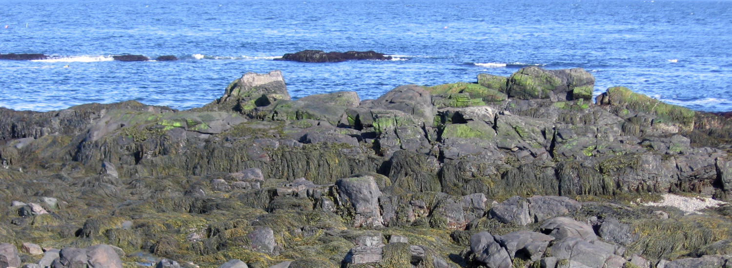
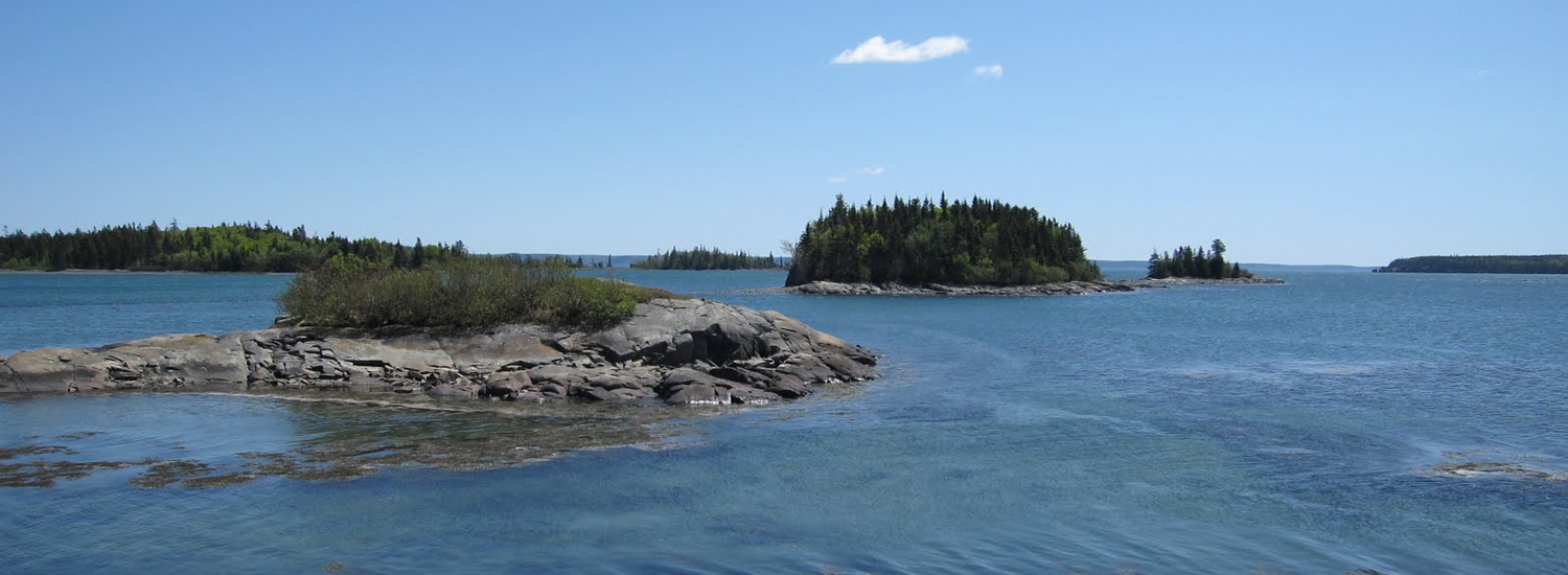
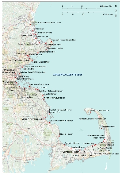
A hallmark of each National Estuary Program is its Comprehensive Conservation and Management Plan (CCMP). The CCMP lays out a framework for addressing the most pressing environmental issues facing the estuary of concern, such as poor water quality, habitat degradation, or land use planning. MBP last updated its CCMP in 2003, and times have changed. While many if not all the issues addressed in the older Management Plan persist, new issues have come to the forefront, such as climate change and sea level rise. This time around, MBP took a new approach to comprehensive planning, focusing much of this effort on identifying local and regional needs – issues specific to each estuary within the MBP planning area. To kick-off this effort, MBP worked with a contractor to delineate 47 major estuaries and embayments within the MBP region (see figure). The project collected baseline environmental information on each of these systems and lay the groundwork for assessing their ecological health over the long-term.
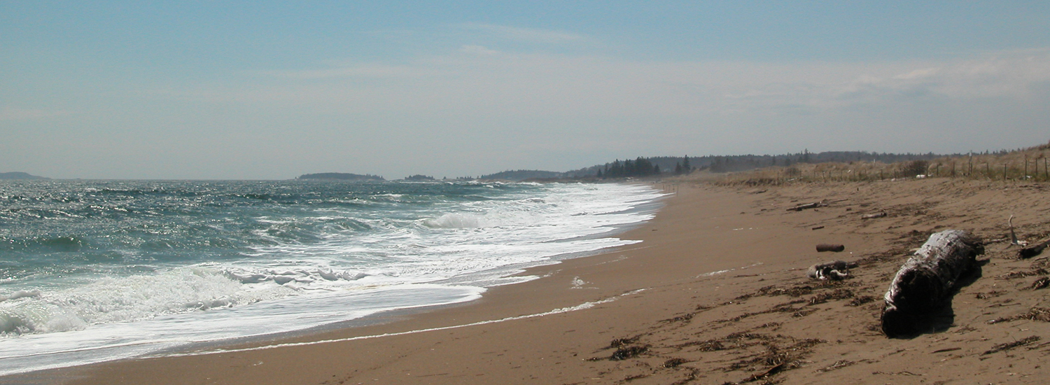
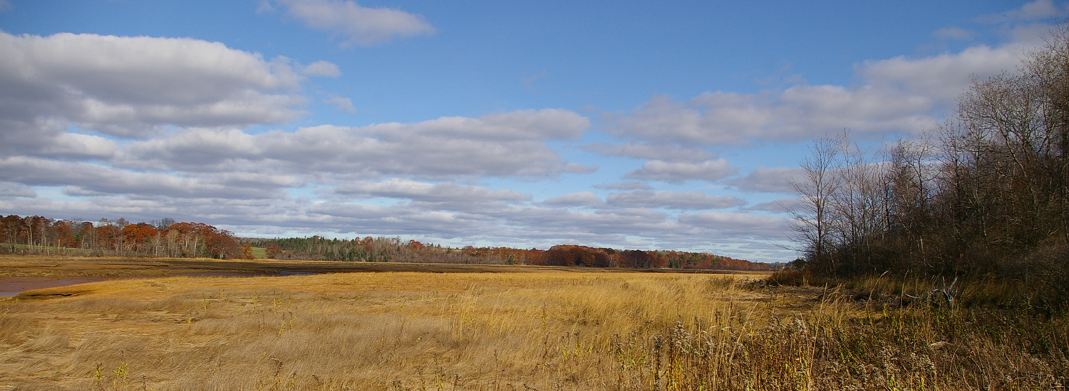
As part of the Estuary Delineation and Assessment project, data were compiled for seven resource and fifteen stressor indicators. These resource and stressor indicators allow MBP to assess the current condition of each estuary as well as help MBP to evaluate progress toward three programmatic management goals: 1. Reduce bacterial contamination and minimize the risk of eutrophication; 2. Protect and restore estuarine habitat; and 3. Improve the continuity of estuarine habitat. Environmental stressors include factors that cause or indicate impairment of the watershed, such as high intensity land use, population density, and impervious surface. Resource metrics indicate the presence of important ecological resources such as eelgrass, shellfish beds, anadromous fish, and salt marsh. The indicators were selected based on data quality and reliability, availability of data for the entire MBP region, availability of data in the future, and cost effectiveness.
The Interim Estuary Delineation and Assessment report was completed this fall. This report in conjunction with stakeholder input will serve as the backbone of the CCMP Update and MBP moving forward.
Other News in the Gulf of Maine & Bay of Fundy
Past Journals
![]() Febuary 2015 — ESIP releases new smartphone app connecting people in the Gulf of Maine and watershed to the science happening all around them.
Febuary 2015 — ESIP releases new smartphone app connecting people in the Gulf of Maine and watershed to the science happening all around them.
![]() November 2015 — The launch of a marine debris program in the Bay of Fundy.
November 2015 — The launch of a marine debris program in the Bay of Fundy.
![]() September 2015 — Climate Change Products for Atlantic Canada.
September 2015 — Climate Change Products for Atlantic Canada.
![]() July 2015 — An update from the April 2015 State of the Bays Symposium in Massachusetts.
July 2015 — An update from the April 2015 State of the Bays Symposium in Massachusetts.
![]() June 2015 — Learn about NH Department of Environmental Services' work with 65 volunteers to improve beach grass coverage at Hampton Beach State Park.
June 2015 — Learn about NH Department of Environmental Services' work with 65 volunteers to improve beach grass coverage at Hampton Beach State Park.
![]() May 2015 — Nova Scotia recently released risk ratings for storm serge and sea level rise for all portions of the Province - this journal summarizes the findings
May 2015 — Nova Scotia recently released risk ratings for storm serge and sea level rise for all portions of the Province - this journal summarizes the findings
![]() April 2015 — Learn about an exciting project between ESIP and EPA that seeks to unravel upstream pressures on downstream estuaries
April 2015 — Learn about an exciting project between ESIP and EPA that seeks to unravel upstream pressures on downstream estuaries
![]() February 2015 — Meet the new Project Leader for the Gulf of Maine Coastal Program in Falmouth, Maine - Jed Wright.
February 2015 — Meet the new Project Leader for the Gulf of Maine Coastal Program in Falmouth, Maine - Jed Wright.
![]() January 2015 — New Smart Tour of Great Marsh - largest continuous stretch of salt marsh in New England, extending from Cape Ann in Massachusetts to New Hampshire
January 2015 — New Smart Tour of Great Marsh - largest continuous stretch of salt marsh in New England, extending from Cape Ann in Massachusetts to New Hampshire
![]() December 2014 — The American Lobster Settlement Index is an important project that assesses current lobster fishery condition in both Canada and the US. The dataset is current and available through the ESIP Indicator Reporting Tool
December 2014 — The American Lobster Settlement Index is an important project that assesses current lobster fishery condition in both Canada and the US. The dataset is current and available through the ESIP Indicator Reporting Tool
Click here for all past ESIP journals