
August 2014 ESIP Journal
Student built, Fishermen deployed, Satellite tracked Drifters
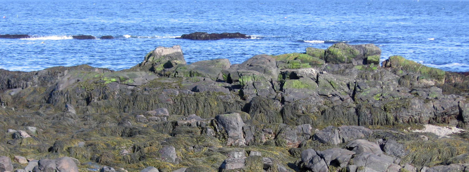
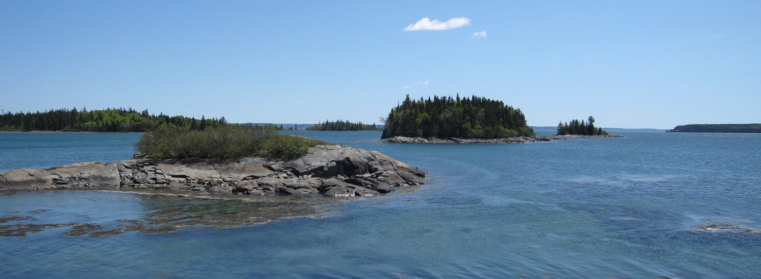
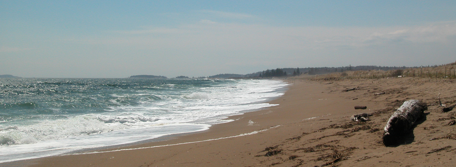
Educators and their students help scientists better understand transport pathways by providing surface current information to modelers with drifters. These drifters provide students with a hands-on introduction to physical oceanography by engaging them in the entire process from building, to deploying, to following their tracks online. Why drifters? Drifters track currents which are important for model validation, search and rescue, red tide and harmful algae blooms, oil spills, recovery, larval distribution, safe maritime operations, pollution, and storm accuracy and weather predictions. Over 50 different academic institutions ranging from preschool to graduate level oceanography programs have been involved with construction and deployment of these drifters. Lesson plans ranging from simple concepts of latitude and longitude to complex studies of dispersion have been developed.
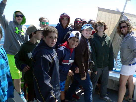
Jim Manning from the NOAA Northeast Fisheries Science Center, has been building drifters for over a decade. These drifters are constructed with low-cost, locally available, eco-friendly materials. They are named after the student or researcher who first designed or inspired its prototype. While the size and shape remain consistent, past models have evolved from the original PVC-framed “Rachel”, to the bamboo-framed “Cassie”, and many others. The current design is the “Irina” which is constructed with a set of cotton sails supported by aluminum spars which are mounted orthogonally around a 6′ length of 1” square aluminum pipe. A set of two fishermen’s net buoys are lashed around the neck of the drifter for flotation. The GPS transmitter is mounted on the top. Contact information and art work can be easily posted along the mast, on the top of the transmitter, or printed on the sails. The entire unit weighs approximately 20 lbs and floats to minimize windage. These units can be built by students at nearly any level with some adult supervision and instructions as posted at studentdrifters.org.
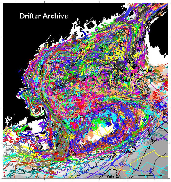
Data is delivered in a variety of formats and displays. It contributes to the US Integrated Ocean Observing System and used by numerical ocean modelers to validate their simulations. In the Northeast, data contributes to the Northeastern Regional Association of Coastal Ocean Observing Systems, NERACOOS. Data is accessible online and can be followed in real time in the classroom.
Contact Information
Jim Manning Technical Support: james.manning@noaa.gov
Erin Pelletier Finance/Billing: erin@gomlf.org
Abigail Smith Education Coordinator: abigailalice.smith@gmail.com
Cassie Stymiest NERACOOS Liaison: cassie@neracoos.org
Drifter construction site, lesson plans: www.studentdrifters.org
Drifter tracking and additional info: www.nefsc.noaa.gov/drifter
Individual school pages:www.neracoos.org/drifters
Other News in the Gulf of Maine & Bay of Fundy
Past Journals
![]() Febuary 2015 — ESIP releases new smartphone app connecting people in the Gulf of Maine and watershed to the science happening all around them.
Febuary 2015 — ESIP releases new smartphone app connecting people in the Gulf of Maine and watershed to the science happening all around them.
![]() November 2015 — The launch of a marine debris program in the Bay of Fundy.
November 2015 — The launch of a marine debris program in the Bay of Fundy.
![]() September 2015 — Climate Change Products for Atlantic Canada.
September 2015 — Climate Change Products for Atlantic Canada.
![]() July 2015 — An update from the April 2015 State of the Bays Symposium in Massachusetts.
July 2015 — An update from the April 2015 State of the Bays Symposium in Massachusetts.
![]() June 2015 — Learn about NH Department of Environmental Services' work with 65 volunteers to improve beach grass coverage at Hampton Beach State Park.
June 2015 — Learn about NH Department of Environmental Services' work with 65 volunteers to improve beach grass coverage at Hampton Beach State Park.
![]() May 2015 — Nova Scotia recently released risk ratings for storm serge and sea level rise for all portions of the Province - this journal summarizes the findings
May 2015 — Nova Scotia recently released risk ratings for storm serge and sea level rise for all portions of the Province - this journal summarizes the findings
![]() April 2015 — Learn about an exciting project between ESIP and EPA that seeks to unravel upstream pressures on downstream estuaries
April 2015 — Learn about an exciting project between ESIP and EPA that seeks to unravel upstream pressures on downstream estuaries
![]() February 2015 — Meet the new Project Leader for the Gulf of Maine Coastal Program in Falmouth, Maine - Jed Wright.
February 2015 — Meet the new Project Leader for the Gulf of Maine Coastal Program in Falmouth, Maine - Jed Wright.
![]() January 2015 — New Smart Tour of Great Marsh - largest continuous stretch of salt marsh in New England, extending from Cape Ann in Massachusetts to New Hampshire
January 2015 — New Smart Tour of Great Marsh - largest continuous stretch of salt marsh in New England, extending from Cape Ann in Massachusetts to New Hampshire
![]() December 2014 — The American Lobster Settlement Index is an important project that assesses current lobster fishery condition in both Canada and the US. The dataset is current and available through the ESIP Indicator Reporting Tool
December 2014 — The American Lobster Settlement Index is an important project that assesses current lobster fishery condition in both Canada and the US. The dataset is current and available through the ESIP Indicator Reporting Tool
Click here for all past ESIP journals