

January 2014 ESIP Journal
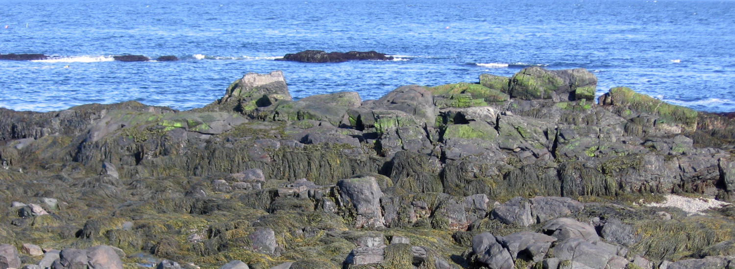
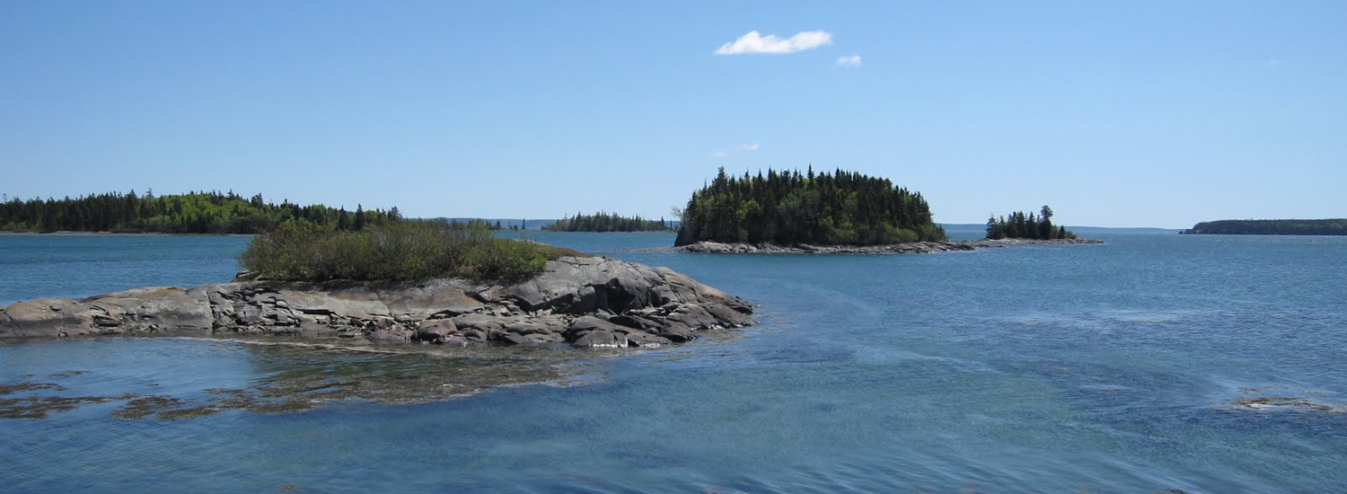
The Gulf of Maine Council’s Climate Network is launching several new initiatives following its high-energy September meeting in Orono. Maine. More than 60 professionals shared two fast-paced days discussing climate impacts in forestry, land use and marine fisheries along with extreme weather effects on coastal infrastructure. Across sectors and borders, many shared needs emerged—to apply research to local communities and promote best practices; to monitor for long-term climate changes an impacts; to have detailed maps and forecasting at regional and local scales; and to have better cost-benefit analyses and socio-economic data for adaptation planning.
Many recommendations emerged for future Climate Network projects—including creation of an online informational clearinghouse for climate data and adaptation guidance; compilation of standardized and consistent land-based datasets; support of high-resolution mapping; and promotion of climate change best practices. One recommendation applied directly to ESIP’s work—a request for a list of indicator species to monitor how climate change is affecting Gulf of Maine marine life. The Climate Network will soon have more resource-rich web pages (sharing the same site design as ESIP’s pages), and is compiling examples this winter on low-cost adaptation measures being used by municipalities.
Presentations from the September meeting can be found on the CN web pages of the GOMC website: http://www.gulfofmaine.org/2/committees-and-programs/climate-change-network/. More on low-cost adaptation measures can be found in a recent NOAA study, Cost-Efficient Climate Adaptation in the North Atlantic report— www.seagrant.uconn.edu/CEANA/.
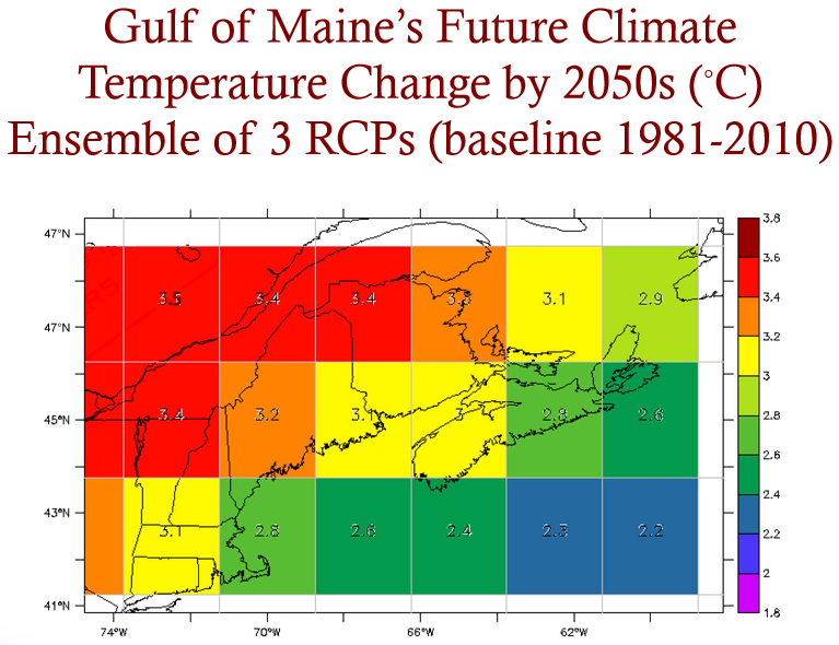
Graph: Adam Fenech, Ph.D. (UPEI Climate Lab)
Other News in the Gulf of Maine & Bay of Fundy
Past Journals
![]() Febuary 2015 — ESIP releases new smartphone app connecting people in the Gulf of Maine and watershed to the science happening all around them.
Febuary 2015 — ESIP releases new smartphone app connecting people in the Gulf of Maine and watershed to the science happening all around them.
![]() November 2015 — The launch of a marine debris program in the Bay of Fundy.
November 2015 — The launch of a marine debris program in the Bay of Fundy.
![]() September 2015 — Climate Change Products for Atlantic Canada.
September 2015 — Climate Change Products for Atlantic Canada.
![]() July 2015 — An update from the April 2015 State of the Bays Symposium in Massachusetts.
July 2015 — An update from the April 2015 State of the Bays Symposium in Massachusetts.
![]() June 2015 — Learn about NH Department of Environmental Services' work with 65 volunteers to improve beach grass coverage at Hampton Beach State Park.
June 2015 — Learn about NH Department of Environmental Services' work with 65 volunteers to improve beach grass coverage at Hampton Beach State Park.
![]() May 2015 — Nova Scotia recently released risk ratings for storm serge and sea level rise for all portions of the Province - this journal summarizes the findings
May 2015 — Nova Scotia recently released risk ratings for storm serge and sea level rise for all portions of the Province - this journal summarizes the findings
![]() April 2015 — Learn about an exciting project between ESIP and EPA that seeks to unravel upstream pressures on downstream estuaries
April 2015 — Learn about an exciting project between ESIP and EPA that seeks to unravel upstream pressures on downstream estuaries
![]() February 2015 — Meet the new Project Leader for the Gulf of Maine Coastal Program in Falmouth, Maine - Jed Wright.
February 2015 — Meet the new Project Leader for the Gulf of Maine Coastal Program in Falmouth, Maine - Jed Wright.
![]() January 2015 — New Smart Tour of Great Marsh - largest continuous stretch of salt marsh in New England, extending from Cape Ann in Massachusetts to New Hampshire
January 2015 — New Smart Tour of Great Marsh - largest continuous stretch of salt marsh in New England, extending from Cape Ann in Massachusetts to New Hampshire
![]() December 2014 — The American Lobster Settlement Index is an important project that assesses current lobster fishery condition in both Canada and the US. The dataset is current and available through the ESIP Indicator Reporting Tool
December 2014 — The American Lobster Settlement Index is an important project that assesses current lobster fishery condition in both Canada and the US. The dataset is current and available through the ESIP Indicator Reporting Tool
Click here for all past ESIP journals