

January 2015 ESIP Journal
Take a Smart Tour of the Great Marsh
Submitted by Massachusetts Bays National Estuary Program
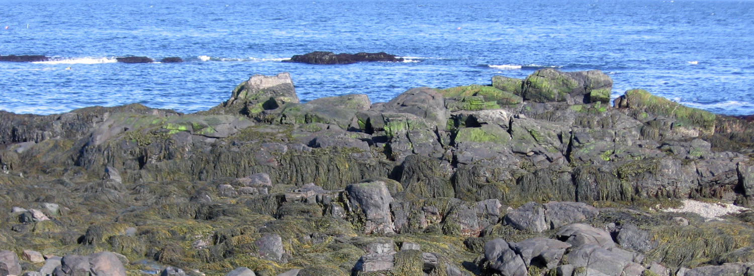
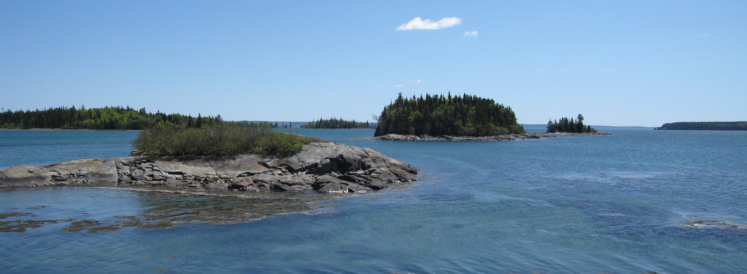
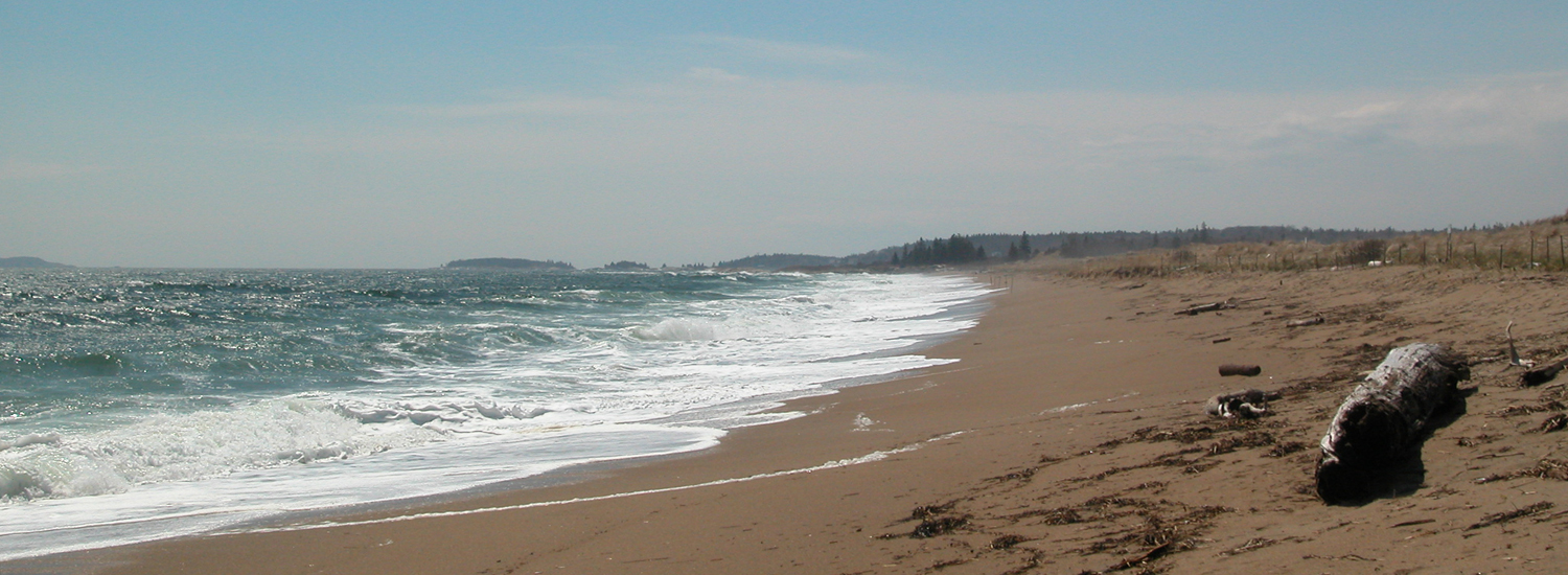
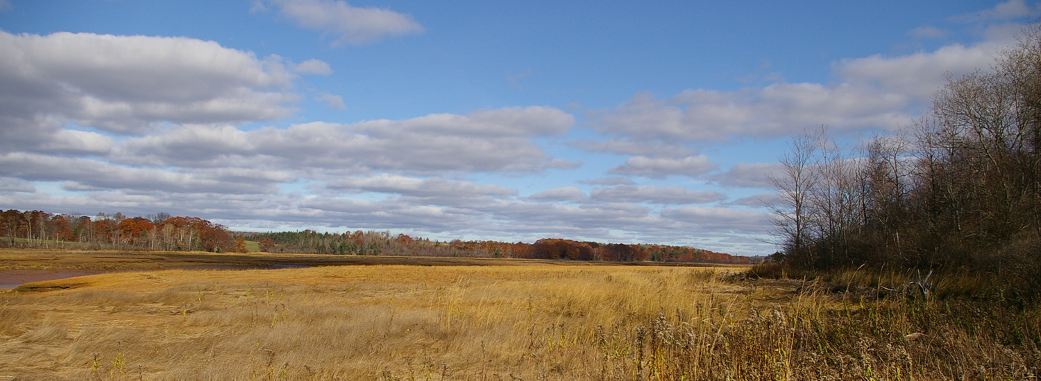
The Great Marsh is the largest continuous stretch of salt marsh in New England, extending from Cape Ann in Massachusetts to New Hampshire. The Great Marsh includes over 20,000 acres of salt marsh, barrier beach, tidal river, estuary, mudflat, and upland islands. Over the years, its extraordinary resources have been protected through various designations including the Great Marsh Area of Critical Environmental Concern. Additionally, the Great Marsh is an internationally recognized Important Bird Area as it contributes to the preservation of many breeding and migratory birds. This unique complex of natural systems adds ecological, economic, recreational, and cultural value to the daily lives of coastal and inland communities along its watershed. The network of waterways, beaches, parks, and wildlife refuges in the Great Marsh make it an outstanding destination for boating, fishing, bird watching, hiking and beach activities.
The Great Marsh’s beauty, history, and diverse wildlife provide opportunities for everyone to enjoy all year round. Thanks to funding provided by the Essex National Heritage Commission and the work of the Merrimack Valley Planning Commission and the Eight Towns and the Great Marsh organization together with Massachusetts Bays National Estuary Program’s intern Josh Wrigley, these opportunities were enhanced by The Great Marsh Tour project, completed in the fall of 2014. With the goal of increasing public awareness of the Great Marsh’s resources and vulnerabilities, the tour provides a greater understanding of the Great Marsh’s history, environmental significance and the threats it faces. The tour consists of a series of Quick Response (QR) codes placed at over 75 locations throughout the Great Marsh. Using free smart phone applications, visitors can access short videos where experts talk about the environmental, economic and cultural importance of the Great Marsh. For more information visit Staddles Production.
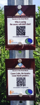
 Left photo: QR codes in one of the various locations across the Great Marsh. Using a smart phone or table, visitors can download and view/listen to experts talking about the location they are actually stnading in. (Photo credit: S. Stanley, July 2014)
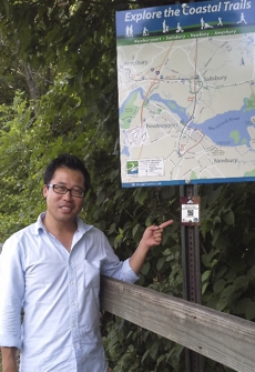
Right photo: Josh Wrigley (MassBays) co-lead the project with the Merrimack Valley Planning Commission and spearheaded the development and placement of the QR codes. (Photo credit: S. Stanley, July 2014)
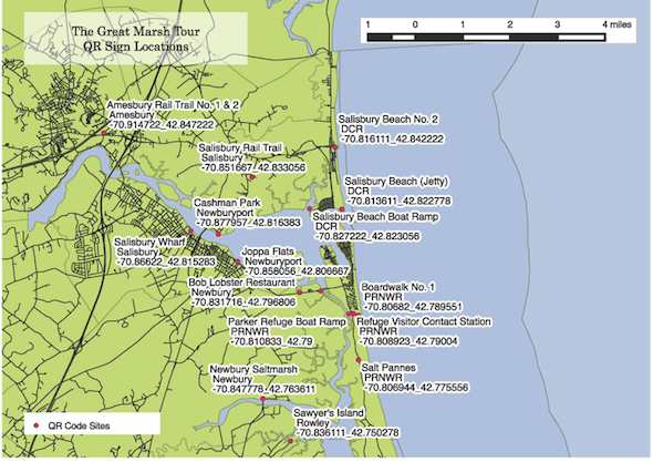
Map of QR code locations in the Great Marsh (Salisbury to Rowley)
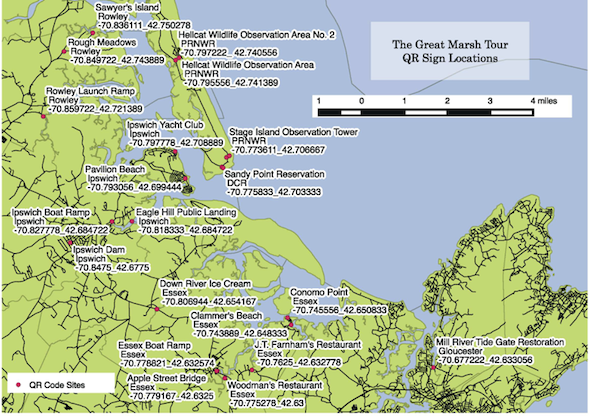
Map of QR code locations in the Great Marsh (Rowley to Gloucester)
Other News in the Gulf of Maine & Bay of Fundy
Past Journals
![]() Febuary 2015 — ESIP releases new smartphone app connecting people in the Gulf of Maine and watershed to the science happening all around them.
Febuary 2015 — ESIP releases new smartphone app connecting people in the Gulf of Maine and watershed to the science happening all around them.
![]() November 2015 — The launch of a marine debris program in the Bay of Fundy.
November 2015 — The launch of a marine debris program in the Bay of Fundy.
![]() September 2015 — Climate Change Products for Atlantic Canada.
September 2015 — Climate Change Products for Atlantic Canada.
![]() July 2015 — An update from the April 2015 State of the Bays Symposium in Massachusetts.
July 2015 — An update from the April 2015 State of the Bays Symposium in Massachusetts.
![]() June 2015 — Learn about NH Department of Environmental Services' work with 65 volunteers to improve beach grass coverage at Hampton Beach State Park.
June 2015 — Learn about NH Department of Environmental Services' work with 65 volunteers to improve beach grass coverage at Hampton Beach State Park.
![]() May 2015 — Nova Scotia recently released risk ratings for storm serge and sea level rise for all portions of the Province - this journal summarizes the findings
May 2015 — Nova Scotia recently released risk ratings for storm serge and sea level rise for all portions of the Province - this journal summarizes the findings
![]() April 2015 — Learn about an exciting project between ESIP and EPA that seeks to unravel upstream pressures on downstream estuaries
April 2015 — Learn about an exciting project between ESIP and EPA that seeks to unravel upstream pressures on downstream estuaries
![]() February 2015 — Meet the new Project Leader for the Gulf of Maine Coastal Program in Falmouth, Maine - Jed Wright.
February 2015 — Meet the new Project Leader for the Gulf of Maine Coastal Program in Falmouth, Maine - Jed Wright.
![]() January 2015 — New Smart Tour of Great Marsh - largest continuous stretch of salt marsh in New England, extending from Cape Ann in Massachusetts to New Hampshire
January 2015 — New Smart Tour of Great Marsh - largest continuous stretch of salt marsh in New England, extending from Cape Ann in Massachusetts to New Hampshire
![]() December 2014 — The American Lobster Settlement Index is an important project that assesses current lobster fishery condition in both Canada and the US. The dataset is current and available through the ESIP Indicator Reporting Tool
December 2014 — The American Lobster Settlement Index is an important project that assesses current lobster fishery condition in both Canada and the US. The dataset is current and available through the ESIP Indicator Reporting Tool
Click here for all past ESIP journals