
September 2014 ESIP Journal
GeoTour of the Gulf of Maine & Bay of Fundy
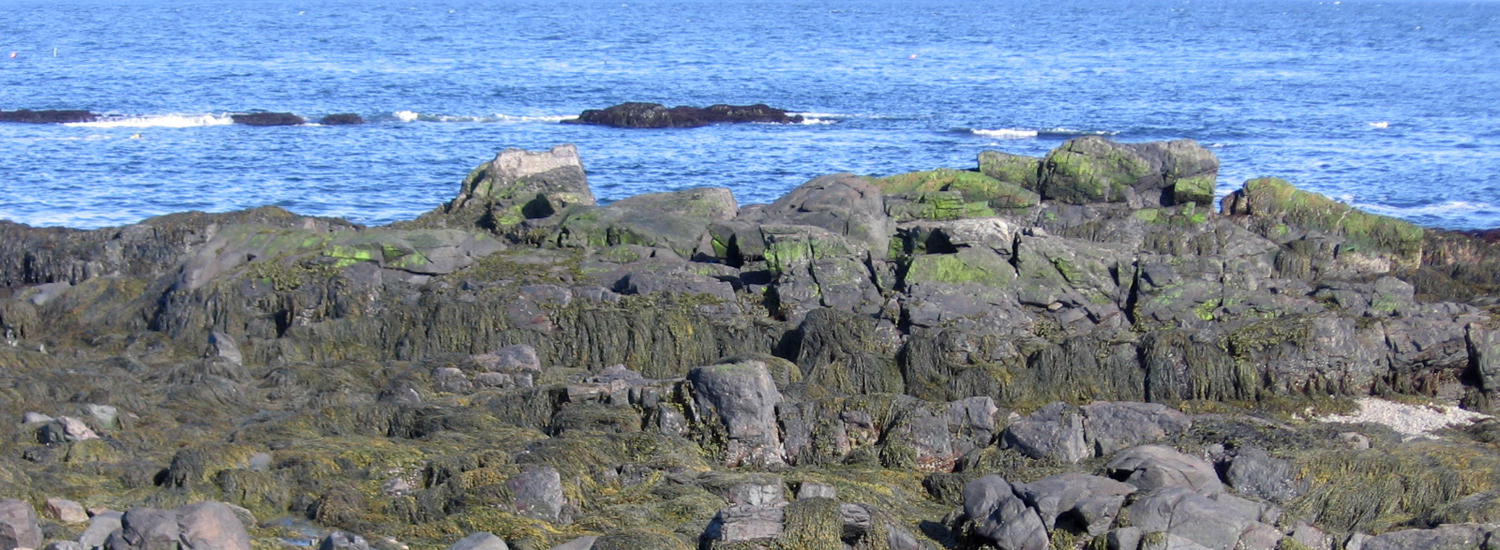
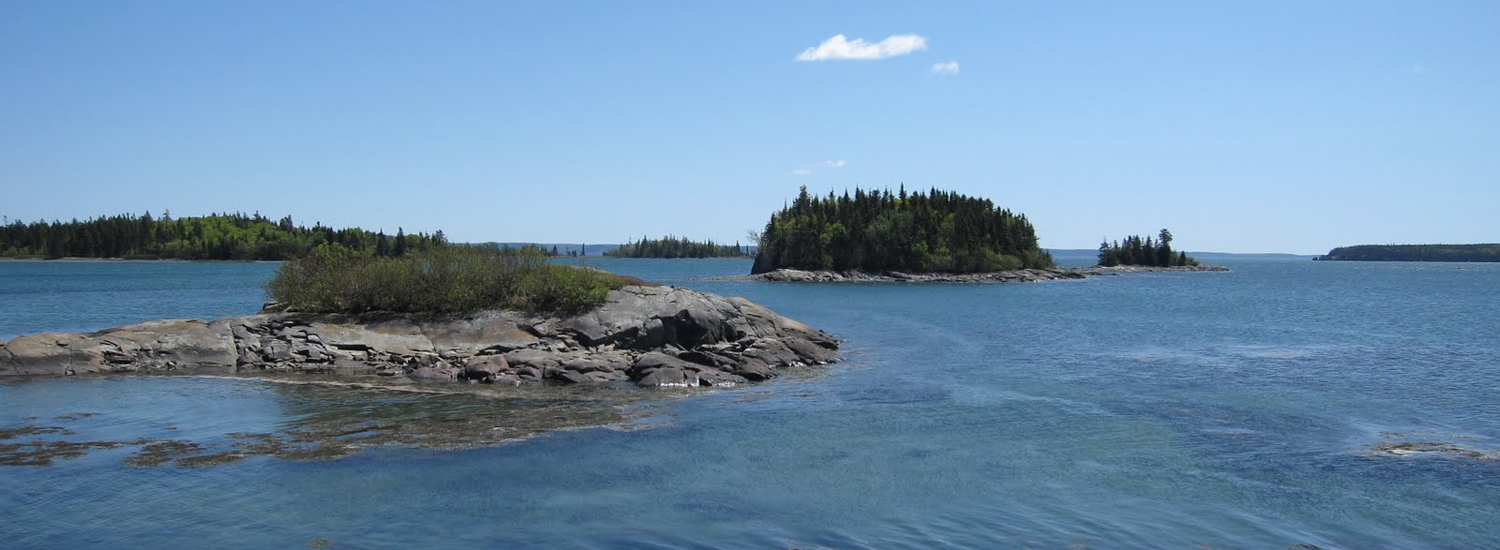
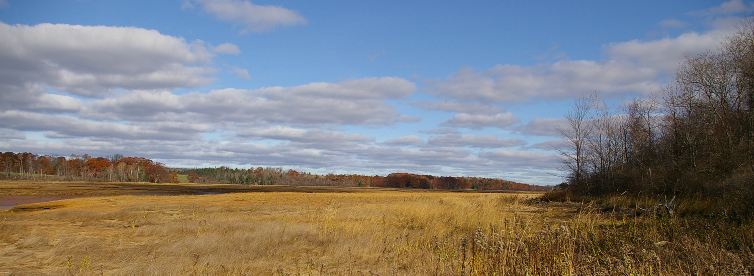
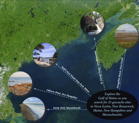
Looking for something fun to do this fall in your watershed? Go on the GeoTour, created to celebrate the Gulf of Maine Council’s 25th anniversary! Five sites are located in each of the states and provinces surrounding the Gulf of Maine. Whether you live in Boston or near Great Bay or in Maine or St. John or Nova Scotia, there is likely to be a geocache site near you. The GeoTour itself was created to encourage people living in or visiting the Gulf of Maine region to explore and learn about our watershed and coasts. Participants collect points for every geocache visited by answering questions posed in the GeoTour Passport:
http://www.gulfofmaine.org/2/wp-content/uploads/2014/07/GOMC_GeoTour_Passport_Full.pdf
In addition to learning about the biologically diverse and beautiful areas that surround us, participants can also help ESIP learn about changes taking place at the sites visited. As a pilot project two sites were selected for photographic data collection. These two sites allow participants to take images from specific spots and submit them to the ESIP Program Manager. These photos create part of the foundation that ESIP is using to create our ICUC app (stay tuned for details on that!).
To get more information on the GeoTour please visit:
http://www.gulfofmaine.org/geocache
Once you’ve gone on the GeoTour and earned a beautiful geocoin, challenge your friends and neighbors to explore the Gulf of Maine, too.
Other News in the Gulf of Maine & Bay of Fundy
Past Journals
![]() Febuary 2015 — ESIP releases new smartphone app connecting people in the Gulf of Maine and watershed to the science happening all around them.
Febuary 2015 — ESIP releases new smartphone app connecting people in the Gulf of Maine and watershed to the science happening all around them.
![]() November 2015 — The launch of a marine debris program in the Bay of Fundy.
November 2015 — The launch of a marine debris program in the Bay of Fundy.
![]() September 2015 — Climate Change Products for Atlantic Canada.
September 2015 — Climate Change Products for Atlantic Canada.
![]() July 2015 — An update from the April 2015 State of the Bays Symposium in Massachusetts.
July 2015 — An update from the April 2015 State of the Bays Symposium in Massachusetts.
![]() June 2015 — Learn about NH Department of Environmental Services' work with 65 volunteers to improve beach grass coverage at Hampton Beach State Park.
June 2015 — Learn about NH Department of Environmental Services' work with 65 volunteers to improve beach grass coverage at Hampton Beach State Park.
![]() May 2015 — Nova Scotia recently released risk ratings for storm serge and sea level rise for all portions of the Province - this journal summarizes the findings
May 2015 — Nova Scotia recently released risk ratings for storm serge and sea level rise for all portions of the Province - this journal summarizes the findings
![]() April 2015 — Learn about an exciting project between ESIP and EPA that seeks to unravel upstream pressures on downstream estuaries
April 2015 — Learn about an exciting project between ESIP and EPA that seeks to unravel upstream pressures on downstream estuaries
![]() February 2015 — Meet the new Project Leader for the Gulf of Maine Coastal Program in Falmouth, Maine - Jed Wright.
February 2015 — Meet the new Project Leader for the Gulf of Maine Coastal Program in Falmouth, Maine - Jed Wright.
![]() January 2015 — New Smart Tour of Great Marsh - largest continuous stretch of salt marsh in New England, extending from Cape Ann in Massachusetts to New Hampshire
January 2015 — New Smart Tour of Great Marsh - largest continuous stretch of salt marsh in New England, extending from Cape Ann in Massachusetts to New Hampshire
![]() December 2014 — The American Lobster Settlement Index is an important project that assesses current lobster fishery condition in both Canada and the US. The dataset is current and available through the ESIP Indicator Reporting Tool
December 2014 — The American Lobster Settlement Index is an important project that assesses current lobster fishery condition in both Canada and the US. The dataset is current and available through the ESIP Indicator Reporting Tool
Click here for all past ESIP journals