
October 2007 ESIP Journal
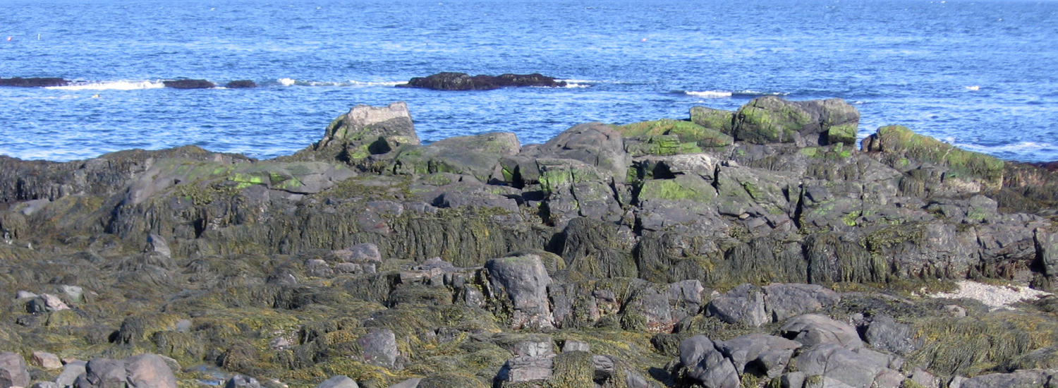
In this journal entry, Adria Elskus, a research biologist with the U.S. Geological Survey (USGS), reports on collecting fish, worms, and bivalves in August 2007 from areas above and below the Veazie and Great Works Dams along the Penobscot River in Maine. These dams are slated for removal, opening greater reaches of the river for migration of native fish, specifically the Atlantic salmon.
Read journal entry
 |
USGS biologist Adria Elskus, who is studying contaminant levels in fishes and invertebrates in the Penobscot River and other rivers in the Gulf of Maine watershed, dissects a fish specimen. |
ESIP and the Climate Change Network joint meeting
The Ecosystem Indicator Partnership (ESIP) and Climate Change Network held a successful joint meeting on June 11, 2007, in New Brunswick. Thanks to the energy and ideas of the attendees, ESIP has advanced significantly towards the short-term goal of deciding upon two or three initial priority indicators in each of the six focus areas (contaminants, coastal development, climate change, aquatic habitats, eutrophication, and fisheries/aquaculture). You can access two of the presentations given at the meeting and a summary of the ESIP portion of the meeting through the links provided below. If you have specific questions or would like to join in this process, please contact Christine Tilburg.
- Ecosystem Indicator Partnership: Where are we going and how can we get there? (PowerPoint, 2.12 MB)
Presenter: Christine Tilburg, ESIP Program Manager - Coastal Impacts and Adaptation Issues (PowerPoint, 1.5 MB)
Presenter: Gary Lines, Climate Change Meteorologist, Meteorological Service of Canada Atlantic - Summary of ESIP portion of meeting (Word, 30 KB)
ESIP and the Climate Change Network launch
ESIP and the Climate Change Network announce an upcoming joint meeting on June 11, 2007, in New Brunswick. The ESIP portion of the meeting will focus on work in the six ESIP subcommittees (climate change, contaminants, coastal development, eutrophication, fisheries/aquaculture, and aquatic habitats) to determine initial 2-3 indicators for publishing in regional reporting. Discussions will also focus on the specific effects that climate change might have on indicators in the Gulf of Maine. Attendance at the ESIP/CNN event is free but space is limited. Please submit the registration form (PDF, 34 KB) and book your room with the Fairmont Algonquinn. For specific information on the agenda or ride and room sharing, please contact Christine Tilburg.
Request for Proposals (RFP) for geospatial mapping application
The Ecosystem Indicator Partnership (ESIP) has released a technical development vendor Request for Proposal (RFP) for the current GeoConnections project. The primary goal of this project is to deliver an innovative geospatial application to the coastal management and decision-making community in the Gulf of Maine, which will help them understand the status and trends of important ecosystem data as well as assess the efficacy of their management efforts regarding coastal pollution. The Technical Development Vendor selected through this RFP process will be responsible for the implementation of Open Geospatial Consortium web mapping and web feature services on selected datasets and for developing the geospatial application.
Meet the new ESIP program manager
Christine Tilburg starts her new role as ESIP Program Manager on February 8, 2007. Christine has just moved from Georgia to Maine with her family. “For a number of years, my husband and I have hoped to permanently move to Maine. Now that we are in Maine, I have been given the opportunity to start my dream job. I am delighted to be part of the Ecosystem Indicators Partnership Committee. My interest in understanding human impacts to the environment began when I was a young girl. As an eighth grader, I designed a study of nutrients along highways for a science fair. Throughout graduate school and my past jobs, I’ve remained focused on environmental responses. I look forward to working with the talented and committed members of the ESIP Committee and the Gulf of Maine Council helping them bring their vision of a healthy marine environment to the people of the region. Together, step by step, we can implement the 2007-2012 Action Plan.”
Thanks to Ray Konisky, 2006 ESIP program manager, for his fine work. Best wishes to Ray on his new position with The Nature Conservancy’s New Hampshire chapter. Ray will continue his affiliation with ESIP as a member of the habitat indicators subcommittee.
Other News in the Gulf of Maine & Bay of Fundy
Past Journals
![]() Febuary 2015 — ESIP releases new smartphone app connecting people in the Gulf of Maine and watershed to the science happening all around them.
Febuary 2015 — ESIP releases new smartphone app connecting people in the Gulf of Maine and watershed to the science happening all around them.
![]() November 2015 — The launch of a marine debris program in the Bay of Fundy.
November 2015 — The launch of a marine debris program in the Bay of Fundy.
![]() September 2015 — Climate Change Products for Atlantic Canada.
September 2015 — Climate Change Products for Atlantic Canada.
![]() July 2015 — An update from the April 2015 State of the Bays Symposium in Massachusetts.
July 2015 — An update from the April 2015 State of the Bays Symposium in Massachusetts.
![]() June 2015 — Learn about NH Department of Environmental Services' work with 65 volunteers to improve beach grass coverage at Hampton Beach State Park.
June 2015 — Learn about NH Department of Environmental Services' work with 65 volunteers to improve beach grass coverage at Hampton Beach State Park.
![]() May 2015 — Nova Scotia recently released risk ratings for storm serge and sea level rise for all portions of the Province - this journal summarizes the findings
May 2015 — Nova Scotia recently released risk ratings for storm serge and sea level rise for all portions of the Province - this journal summarizes the findings
![]() April 2015 — Learn about an exciting project between ESIP and EPA that seeks to unravel upstream pressures on downstream estuaries
April 2015 — Learn about an exciting project between ESIP and EPA that seeks to unravel upstream pressures on downstream estuaries
![]() February 2015 — Meet the new Project Leader for the Gulf of Maine Coastal Program in Falmouth, Maine - Jed Wright.
February 2015 — Meet the new Project Leader for the Gulf of Maine Coastal Program in Falmouth, Maine - Jed Wright.
![]() January 2015 — New Smart Tour of Great Marsh - largest continuous stretch of salt marsh in New England, extending from Cape Ann in Massachusetts to New Hampshire
January 2015 — New Smart Tour of Great Marsh - largest continuous stretch of salt marsh in New England, extending from Cape Ann in Massachusetts to New Hampshire
![]() December 2014 — The American Lobster Settlement Index is an important project that assesses current lobster fishery condition in both Canada and the US. The dataset is current and available through the ESIP Indicator Reporting Tool
December 2014 — The American Lobster Settlement Index is an important project that assesses current lobster fishery condition in both Canada and the US. The dataset is current and available through the ESIP Indicator Reporting Tool
Click here for all past ESIP journals